In our previous issue, we explored Mont Blanc, Western Europe’s High Point and the tallest peak in the Alps. After visiting the “White Mountain,” it seems fitting in this Halloween season to travel next to a place with a diametrically opposed name.
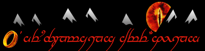
Translated from the native language of Sindarin, the country of Mordor means “The Black Land” or “The Dark Land.” Though long associated with mining and manufacturing, this location is filled to the brim of the proverbial cauldron with mountainous beauty. In peacetime – the nation is the unfortunate location of various battles in major wars – Mordor can be a hiker’s dream vacation spot.
Map of Mordor and surrounding nations - image by Ian Alexander
Mordor lies to the east of the country of Gondor and southeast of the nation of Rohan. To the north sits Murkwood.
Three of Mordor’s four edges are bounded by mountains. The western and southern borders are formed by the Ephel Dúath, a range whose name means “Outer Fences of Dark Shadow” in Sindarin. Another chain, the Ered Lithui, forms the northern boundary; this name translates to “Ash Mountains” from the native tongue.
The Mountains of Shadow, another moniker for the Ephel Dúath, stretch 283 miles along the eastern border and 501 miles in the south. Most of the peaks rise between 6,000 and 9,000 feet above sea level. This range does not feature the highest mountains in the world, but any range of that length and those heights certainly packs an excess of natural beauty.
Artist Rob Alexander's rendering of the Ephel Dúath
An unknown photographer's image of the Ephel Dúath
Extending 498 miles across the northern reaches of Mordor are the Ered Lithui. This rugged range was described by one writer as filled with “broken peaks and barren ridges.” In Sindarin, the name approximates “Ash Mountains.” Unsurprisingly, the geologic makeup of these peaks is grey in color.
One spur reaches south from the relatively straight line of the main chain. This outcropping lunges toward the Plateau of Gorgoroth, where the nation’s capital resides: Barad-dûr.
A painting of the Ash Mountains by Kevin Ward
The two chains meet in the northwest corner of Mordor. This spot is known as Cirith Gorgor. Translated from Sindarin, the appellation denotes “Pass of Extreme Horror.” Seems a harsh name for such a gorgeous location.
Citizens of Mordor constructed the Black Gate, known as the Morannon in Sindarin, to guard the pass from outside threats. Physically, the pass is a soaring sight. Cliffs rise 3,000 feet above the floor. Traveling through the canyon must be a thrilling enterprise.
Ted Naismith's rendition of Cirith Gorgor
The true gem of Mordor, however, lurks within the walls of the outer ranges, towering over the valley of Udûn.
Barad-dûr’s skyline is dominated by a tremendous crag, renowned worldwide as Mount Doom. The indigenous name is Orodruin, which means “Fiery Mountain.” Another designation is Amon Amarth, or “Mountain of Fate.”
This stratovolcano is extraordinarily active, though its spewings are seldom cataclysmic. Pyroclastic flows are rare; most effusions take the form of toxic gases and ash. The prevailing movement of the ejecta is northerly, which geologists believe causes the coloration of the Ered Lithui. In other words, Mount Doom christened the Ash Mountains.
An uncommon eruption of Mount Doom
Though Doom’s large explosions are infrequent, it does top the Volcanic Explosivity Index at a rating of 4. This degree puts it on par with some doozies from across the ages, including the 1902 eruption of Mount Pelée.
Watch unique footage of Mount Doom erupting, filmed by a vacationer named Peter Jackson:
The volcano only lifts 4,500 feet vertically, though that altitude was likely higher in the past. The base of the mountain is an impressive seven miles in diameter! The first known ascent of Mount Doom belongs to a climber named Sauron, who conquered Orodruin in 9941 BCE.
Some geologists believe the interior of Mordor hides evidence of an ancient volcano that would have dwarfed nearly every mountain in the world. Data point to a caldera nearly the size of the entire valley. A volcano that could produce a crater this large likely topped out at 29,000 feet.
Astoundingly, a video of Sauron’s historic ascension of Mount Doom exists. View the footage below:
Despite Mordor’s reputation as a haven for despots and dictators, the nation possesses tremendous intrinsic beauty. Mountaineers worldwide should take advantage of the period of peace to summit her peaks, view her volcanoes, and traverse her passes.
Have you been hiking in Mordor? Send us all your favorite photos and videos!


Pingback: The Sirens of Titan – themountainsarecalling.earth