Volcán Tajumulco – Guatemala and Central America’s High Point
Despite its proximity to sea level – nowhere in the region lies more than 125 miles from an ocean – Central America contains some serious elevation.
The American Cordillera forms a nearly continuous backbone from South America’s continental toes in Patagonia to the tippy pate of Alaska’s coast along the Beaufort Sea, from the Andes through the Rockies and beyond. The Central American Volcanic Arc comprises the midsection of the chain, running from Panama to the Mexico border.
These mountains exist thanks to the subduction of the Cocos plate beneath the Caribbean, North American, and Panama plates. When the Cocos plate slams into its eastern neighbors, it violently smashes beneath them. The other plates get a bump and an infusion of magmatic activity, resulting in a string of volcanoes.
The relief of the Central American Volcanic Arc - graphic by NASA/Judygreenberg
A typical subduction zone - graphic by Booyabazooka
The Cocos plate and its neighbors - graphic by Alataristarion
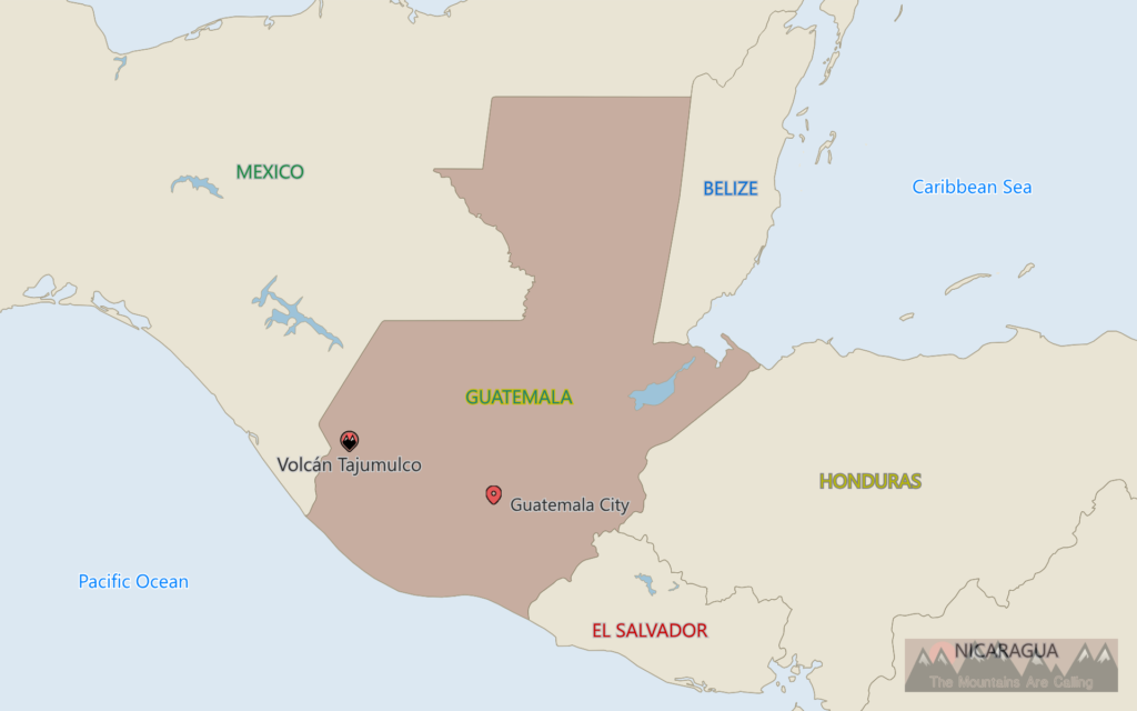
Central America’s ceiling resides in Guatemala.
Home to the heart of the Mayan empire, the nation’s name comes from a Nahuatl word meaning “place of many trees.” In another timeline, the title might have reflected mountains because Guatemala is jam-packed with crags.
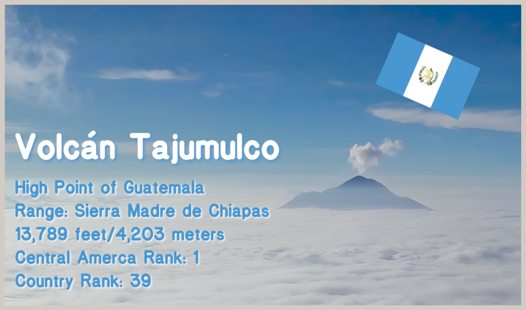
And topping them all is Volcán Tajumulco, which rises 13,789 feet (4,203 meters) above sea level, and is part of the Sierra Madre de Chiapas range.
A place for the many trees to live, Volcán Tajumulco - photo by Simon Burchell
Tajumulco is a nearby village (and potentially the village at the highest elevation in Central America), whose name means “place of the reeds” in K’iche’ Mayan. So, the mountain’s moniker translates to Volcano of the Place of the Reeds.
A gorgeous stratovolcano, Tajumulco is likely extinct. Two reports claim eruptions occurred in the 18th and early 19th centuries, but geologists believe these claims to be unlikely.
Still, in the distant past, lava collected over a large escarpment, crafting a steep cone. Tajumulco features 13,060 feet (3,980 meters) of prominence, ranking 24th on the global list and fifth in North America.
On the list of national High Points, the volcano rates 39th.
A relief map showing the steep rise of Tajumulco and other Guatemalan volcanoes - photo by Nerdoguate
Unlike some other peaks of similar height, the trek up Tajumulco does not seem technically demanding. However, the elevation can make even straightforward climbs into difficult slogs. From the most accessible transportation spot, the hike is just under eight miles to the summit. Many people opt to split this journey over two days, overnighting at a campsite on the way up, so they can acclimate to the elevation and have more time at the pinnacle.
Moreover, the hardest part might be getting to the area. Unlike another famous volcano in Guatemala – Pacaya – Tajumulco is removed from highly populated portions of the country. At Pacaya, a climber can order a pizza cooked by the mountain; at Tajumulco, a climber might not encounter another soul on the ascent.
Tajumulco in the distance - USGS
The summit crater - photo by ACFoote
Tajumulco might not provide a lava-fired pie, but, according to Guatemalan mythology, it produced sustenance for humanity.
The motif of the sustaining mountain is detailed in the Popol Vuh, an ancient Mayan anthology of literature, history, and mythology. The general gist is that the gods hid all that humans need to survive in a mountain, and this manna was revealed by animals, often foxes, coyotes, crows, or parrots, and given to people. According to some sources online, the local tradition at Tajumulco involves leafcutter ants and woodpeckers divulging the mountain’s nourishment.
Today, Guatemala and Central America’s highest peak can still provide trekkers with heart nourishment; such is the magic of the mountains!